
Maps
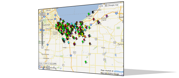
The Community Research and Service Center maintains two maps on which it plots the locations of all the identified bias motivated incidents since 1990. To view a map with incidents sorted by the year in which they occurred, select the "Map by Year" link to the left. To view a map with incidents sorted by type (e.g., cross burning, graffiti, etc.), select the "Map by Type" link to the left.